longitude
noun longitude
ˈlɑːndʒɪtuːd
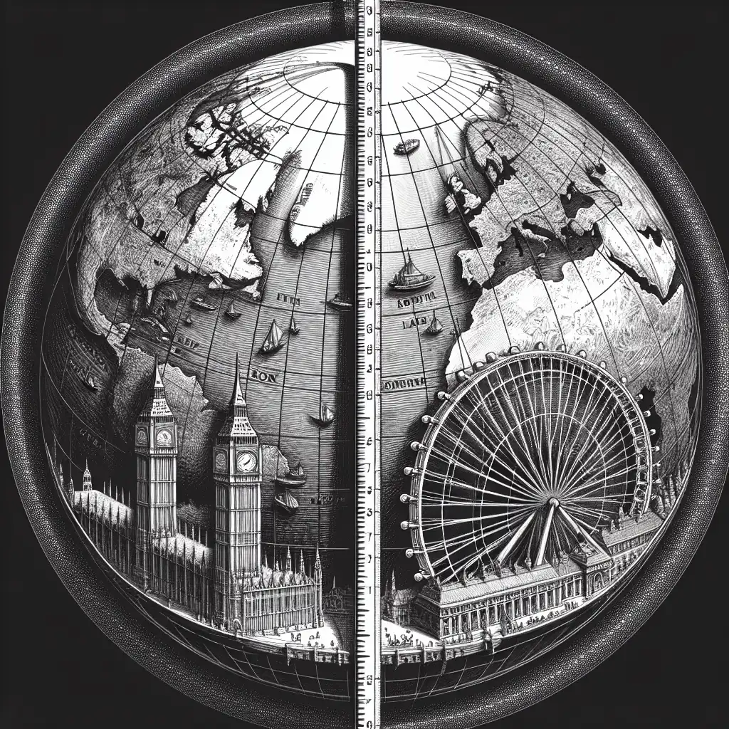
Longitude is an imaginary line on the earth's surface that goes from the North Pole to the South Pole.
The city of London is located at 0 degrees longitude.
longitude
ˈlɑːndʒɪtuːd
Chargement…
ˈlɑːndʒɪtuːd
Longitude is an imaginary line on the earth's surface that goes from the North Pole to the South Pole.
The city of London is located at 0 degrees longitude.
ˈlɑːndʒɪtuːd
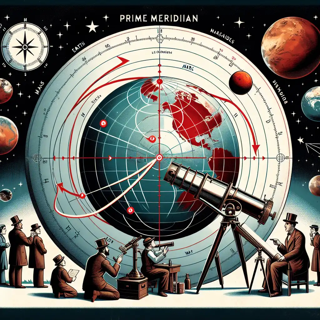
In astronomy, longitude is the celestial equivalent of latitude, measuring angles east or west of the Prime Meridian.
The planet Mars is currently at a longitude of 26 degrees East.
Impossible de charger l’audio. Réessayez plus tard.
Longitude is a way to measure where something is located on the earth's surface from east to west. It's like lines on a globe that go up and down. Longitude is often used when giving directions or telling someone where on a map to find a place. It helps us find exact locations anywhere in the world.
Longitude and meridian both refer to lines on a map or globe used to measure location on the Earth's surface.
Longitude refers to the angular distance between a point on the Earth's surface and the prime meridian (a specific meridian designated as 0° longitude) which runs through Greenwich, England.
Meridian refers to any of the imaginary circles on the Earth's surface that pass through the north and south poles and are perpendicular to the equator.
Meridians are used to measure longitude and are also known as lines of longitude.
In simpler terms, longitude measures how far east or west a location is from the prime meridian, while meridians are the lines used to measure that distance.
Ouvrir le mot: Meridian →has embarked on a new flying around the world nonstop in a plane of his own design. Able to travel consistently at the incredible speed of one degree longitude around the equator per minute, the plane would take six hours to circle the world.
Voir sur YouTube ↗People are using GPS systems to find millions of little hidden objects throughout the world - often as simple as a piece of Tupperware hidden in the woods. You go to a website, you get the latitude and longitude to get the specific location of a certain specific hiding space, and then you go there and see if you can find it.
by their latitude and longitude, it literally draws a map of the world. Our modern world is communicating with itself and with each other more than it has at any time in its past. And that communication that connectivity around the world,
Voir sur YouTube ↗I propose to construct a new chart for navigating, on which I shall delineate all the sea and lands of the Ocean in their proper positions under their bearings; and further, I propose to prepare a book, and to put down all as it were in a picture, by latitude from the equator, and western longitude.
longitude every three hours so I will demonstrate on myself about this oh here we go let's pretend that I am the lucky bear light is able to track my movements and tell exactly where I am now a lot of people may ask you know why is this important
Voir sur YouTube ↗Nothing makes the earth seem so spacious as to have friends at a distance; they make the latitudes and longitudes.
world as the prime meridian zero degrees longitude the dividing line between the eastern and western hemispheres and the home of Greenwich Mean Time through its telescopes the vast expense of space has been explored and studied so how has the work carried out here and at similar
Voir sur YouTube ↗Surely, nothing can be more dangerous than the doctrine that the moral obligations of men change with the latitude and longitude of a place.
He created a world map proportioned so these curved navigational routes would be straight, passing through every line of longitude at the same angle and therefore allowing navigators to set a constant bearing—
Voir sur YouTube ↗People used to pooh-pooh the idea of a check-in, saying that this wasn't interesting. But when you have 3 billion of those data points, you can take any latitude and longitude anywhere in the world, and I'll tell you what is interesting now, 20 minutes from now, and 6 hours from now.
but it shouldn't look like the old system. We agreed that addresses were bad. We knew we wanted something very precise, but GPS coordinates latitude and longitude, were just too complicated. So we divided the world into three-meter squares.
Voir sur YouTube ↗made the first device that could measure the angle between the sun and the horizon during the day, called a sextant. Knowing this angle was important because it could be compared to the angle back in England at the exact same time. Comparing these two angles was necessary to determine the longitude of the ship.
Voir sur YouTube ↗sundial anywhere in the world you can furnish it anything that's not on the dial to tell time is its furniture you can furnish it with here some sailboats and anchors and here's the traditional latitude and longitude and it's the
Voir sur YouTube ↗infrastructure everything not just what's the capital or what's the longitude and latitude it's a very diverse subject and most importantly have fun if you were to visit my
Voir sur YouTube ↗what you did you look at their own home right to see if you're lying naked by the swimming pool I wasn't and then the second thing you do is you start looking at places that are familiar to you and somewhat where along that journey you find that when you type in a longitude
Voir sur YouTube ↗