topographical
adjective topographical
ˌtɑːpəˈɡræfɪkl
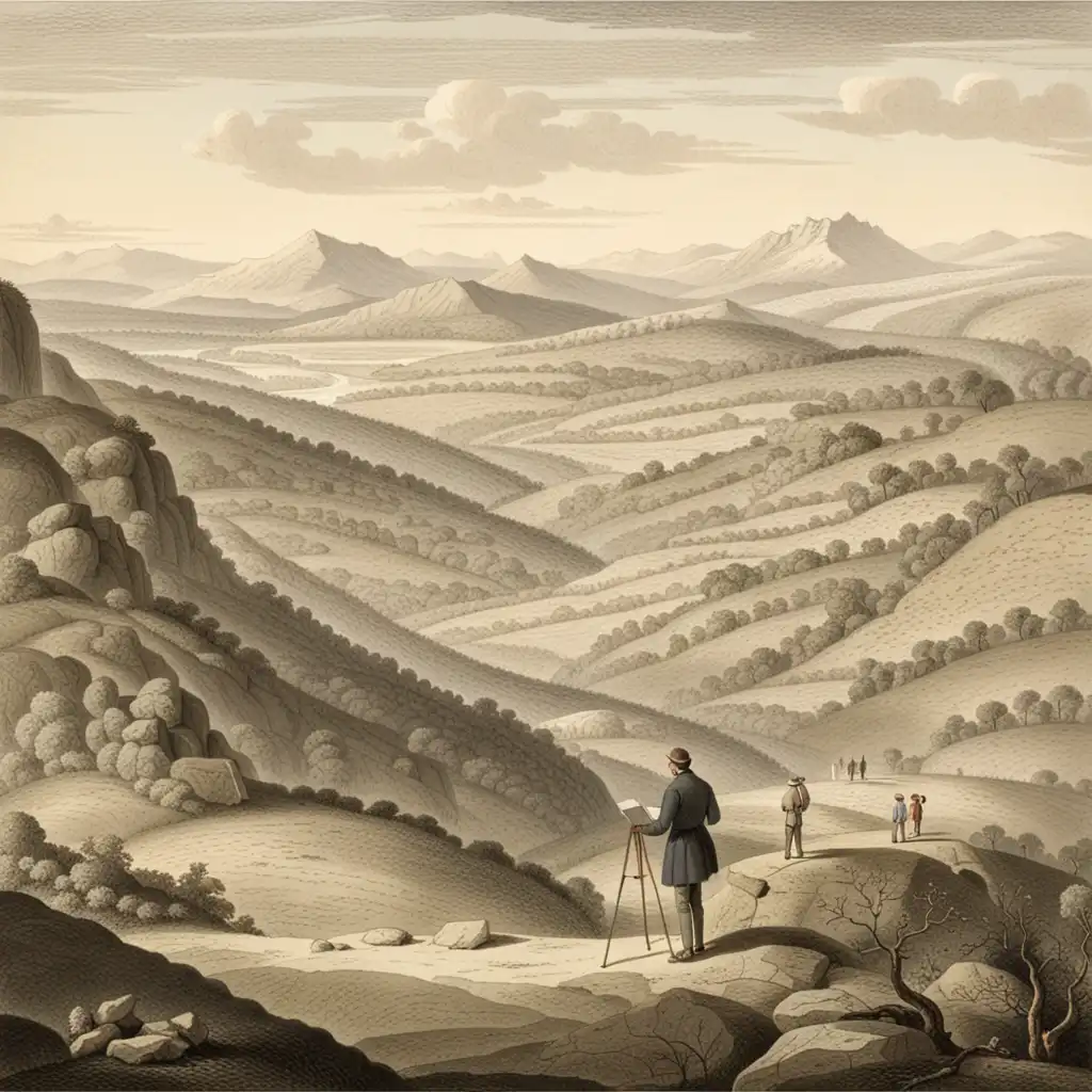
Related to the arrangement of physical features of an area or a place.
The topographical survey revealed the presence of a large hill in the otherwise flat area.
topographical
ˌtɑːpəˈɡræfɪkl
Loading…
ˌtɑːpəˈɡræfɪkl
Related to the arrangement of physical features of an area or a place.
The topographical survey revealed the presence of a large hill in the otherwise flat area.
ˌtɑːpəˈɡræfɪkl
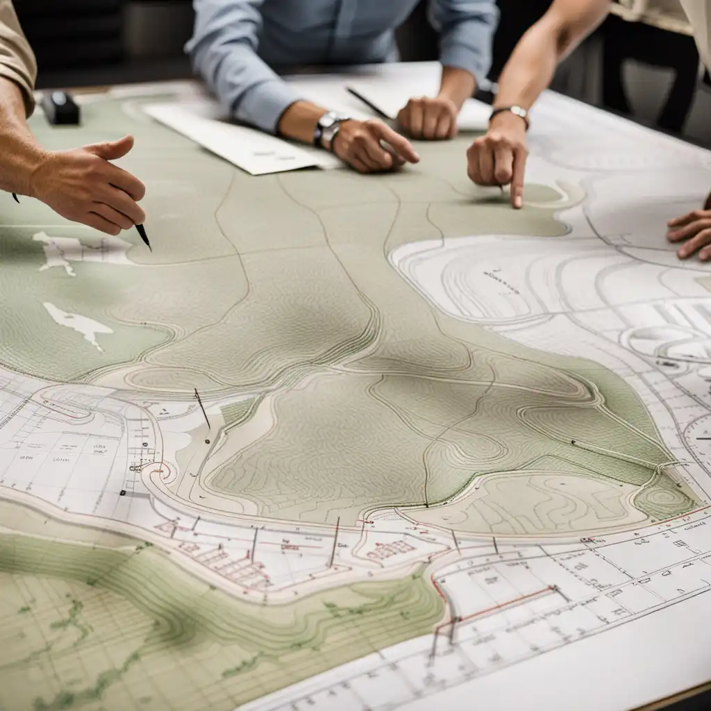
Relating to the detailed mapping or charting of the features of a relatively small area, district, or locality.
Topographical maps are irreplaceable tools for architects and engineers.
Audio could not be loaded. Please try again later.
The word 'topographical' is used to describe something related to the physical features of land or a specific area, such as mountains, hills, rivers, and valleys. It can be used to describe things like topographical maps, which show the physical features of a specific location, or topographical surveys, which record the elevation and terrain of a site. In short, 'topographical' is used to talk about the geography of a place or a piece of land.
Cartographic refers to the art and science of making maps, while topographical refers to the features and natural and man-made structures of the earth's surface.
Open word: Cartographic →Geographical refers to the physical features, natural resources, climate, and overall terrain of a region or area. It is a broad term that encompasses everything related to the Earth's surface and its characteristics.
Geographical refers to the overall characteristics of a region, while topographical is more specific and focuses specifically on the study and representation of the land's surface features.
Open word: Geographical →Landscape refers to the visible features of an area of land, such as the vegetation, terrain, and natural or human-made elements.
Landscape describes the overall appearance of an area, while topographical describes the specific physical features of the land.
Landscape may be more applicable when discussing the scenery and aesthetics of an area, while topographical may be more useful when discussing the geography and geology of an area.
Open word: Landscape →A map is a general term for any representation of an area, whether it's a city, country or the entire world.
Topographical maps are a type of map that show the physical features of an area, such as the elevation, mountains, hills, valleys, rivers, and lakes.
Topographical maps are very useful for hikers, mountaineers, and other outdoor enthusiasts who need to navigate the terrain they are in, as they show the detailed landscape in a very clear way.
In short, maps generally show things like roads and geographic areas, while topographical maps show the physical features of an area in much greater detail.
Open word: Map →Relief refers to the variation or differences in height within a landscape or terrain, and it refers to the three-dimensional quality of that landscape.
For example, if there are mountains, valleys, and hills, that creates relief.
Relief refers to the physical variation or differences in height within a landscape while topographical refers to a detailed description or portrayal of the landscape.
Open word: Relief →A survey is a general term that is used when people gather information about a specific subject or area. It could be used to ask people's opinions about a product, or to collect data about a population group.
To sum up: a survey is a general term for collecting information, while topographical refers specifically to collecting information about the physical features of land.
Open word: Survey →Terrain refers to the physical features of a land area, such as hills, valleys, and forests. It is a broader term that describes the overall landscape.
Topographical refers to the detailed mapping and description of the features of the terrain, including elevation, relief, and slope.
Topographical maps are used by hikers, surveyors, and military personnel to navigate the terrain.
In simpler terms, terrain is the general lay of the land, while topographical refers to the specific details of the land, usually shown on a map.
Open word: Terrain →How I Teach Kids to Love...
Watch on YouTube ↗For as long as I can remember, I have been passionately intrigued by 'Africa,' by the word itself, by its flora and fauna, its topographical diversity and grandeur; but above all else, by the sheer variety of the colors of its people, from tan and sepia to jet and ebony.
Mapping the Future of...
Watch on YouTube ↗Did ancient Troy really...
Watch on YouTube ↗