
cartographic
adjective cartographic
ˌkɑːrtəˈɡræfɪk
Related to the creation or study of maps.
The museum has a large section dedicated to cartographic history.
cartographic
ˌkɑːrtəˈɡræfɪk
लोड हो रहा है…
ˌkɑːrtəˈɡræfɪk
Related to the creation or study of maps.
The museum has a large section dedicated to cartographic history.
ˌkɑːrtəˈɡræfɪk
Used to describe the accurate depiction of a place in maps.
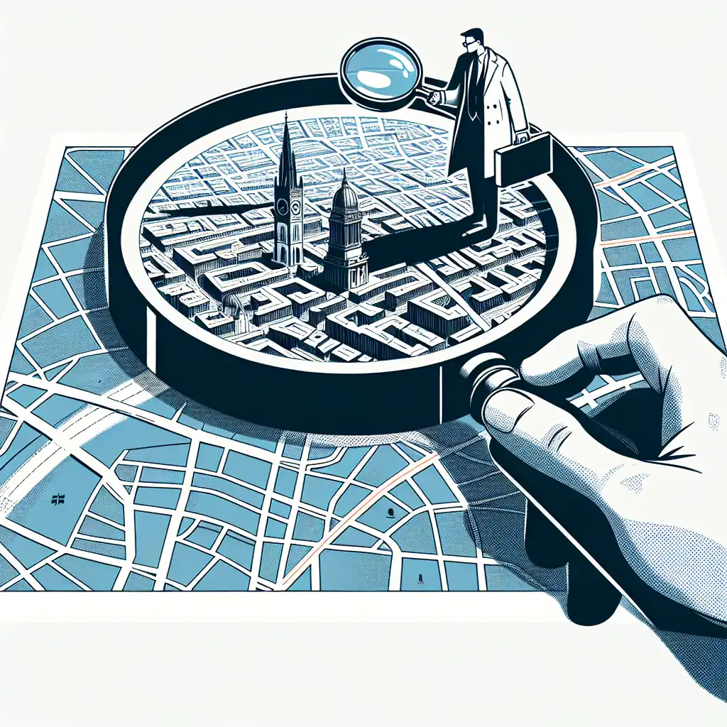
The cartographic representation of the city was precise and easy to understand.
ऑडियो लोड नहीं हो सका। कृपया बाद में फिर कोशिश करें।
The word 'cartographic' is used to describe something that has to do with maps. For example, a cartographic design would be a type of design that involves creating or using maps. The word is commonly used in geography, history, and other fields that involve understanding the physical layout of the world or a specific area.
Cartographic refers to the science or art of making maps, while a chart is a visual representation of data or information, often in the form of a graph or table.
Chart can be used in a variety of fields such as finance, science, and statistics, to present data in a more organized and easy-to-understand manner.
Cartographic pertains to the creation of maps, while chart is a tool used to present different kinds of data.
शब्द खोलें: Chart →Cartographic refers to the production of maps or charts, while the word earth refers to the planet we live on. Cartographic is used when we talk about the creation of maps, while earth is used when we talk about the physical entity on which we live, including its features like oceans, mountains, and deserts.
Cartographic is applicable when we want to create a map for better navigation, whereas earth is applicable when we want to discuss the characteristics of the physical world.
शब्द खोलें: Earth →Cartographic refers to the making of maps or charts, while geographical refers to the study of the natural features of the Earth's surface.
On the other hand, geography is the study of the physical features, climate, and human activity on Earth, and includes understanding the processes responsible for geographical phenomena.
In summary, cartography deals with the physical representation of geographical information, while geography is focused on interpreting and explaining that information.
शब्द खोलें: Geographical →Cartographic refers to the science or art of making maps, while map refers to a diagrammatic representation of an area of land or sea showing physical features, cities, roads, etc.
Cartographic describes the process of making maps, from collecting data to drawing and designing the final product. Map is the end result of the cartographic process, a visual representation of an area that can be used for navigation or to convey information about the location.
For example, a cartographer might use technical tools and skills to create a map of a city, while the final map product may be used by people to plan a road trip or navigate through the city's streets.
शब्द खोलें: Map →Cartographic refers specifically to the art and science of creating maps, while spatial refers more generally to anything related to space or location.
When talking about the design and creation of maps, cartographic is the more appropriate term. When referring to any kind of analysis or manipulation of spatial data, such as in GIS (geographic information systems), spatial is the more appropriate term.
शब्द खोलें: Spatial →Cartographic refers to creating, studying, and interpreting maps while the word survey refers to the process of measuring and mapping a specific area.
Surveys are used to gather specific data on an area. They can be used to measure things like the size of a plot of land, the depth of a body of water, or the height of a mountain.
Surveys are often conducted using surveying equipment like a theodolite or a GPS device.
In summary, cartography is more focused on creating maps while surveying is focused on collecting data for a specific purpose, such as land development or construction.
शब्द खोलें: Survey →Terrestrial refers to anything related to the Earth or land. It is applicable when you talk about studying the land, organisms that live on land, or anything that is related to the Earth.
So, while cartographic focuses on the representation of the Earth on a flat surface, terrestrial is concerned with the physical properties of the Earth's surface.
शब्द खोलें: Terrestrial →Cartographic refers to the art and science of making maps, while topographical refers to the features and natural and man-made structures of the earth's surface.
शब्द खोलें: Topographical →Paper towns and why...
YouTube पर देखें ↗Among the fables that inspired the British Admiralty's cartographic assignments to Captain James Cook in the 1770s and Captain George Vancouver in the 1790s was a 1640 account under the name of Bartholomew de Fonte that appeared in a journal with the delightful title 'The Monthly Miscellany, or Memoirs for the Curious.